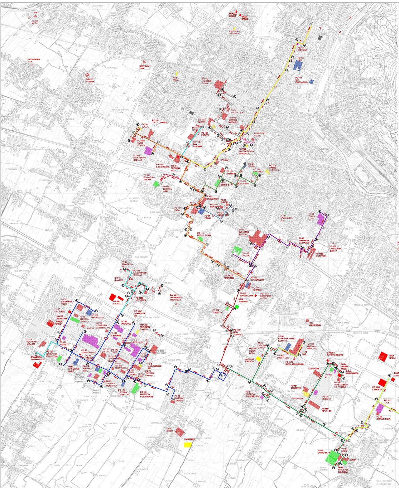
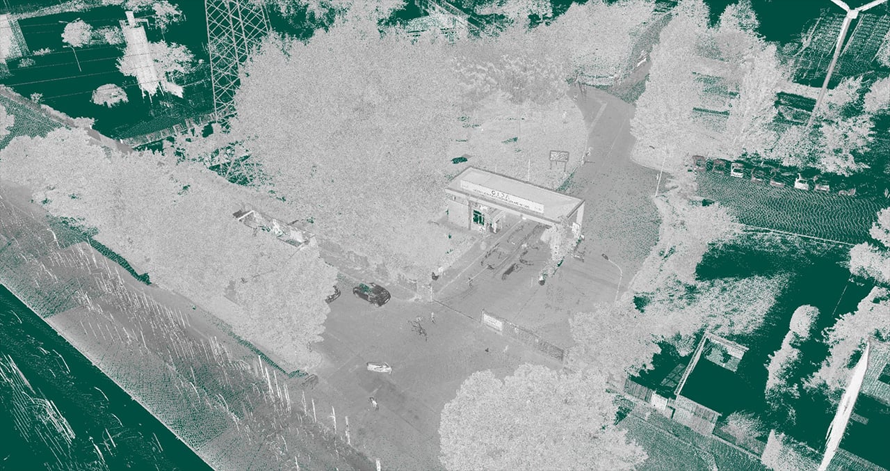
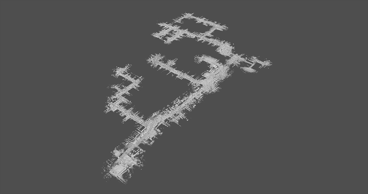
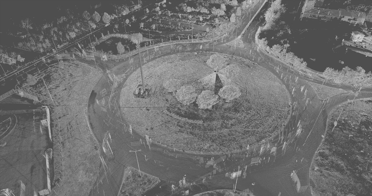
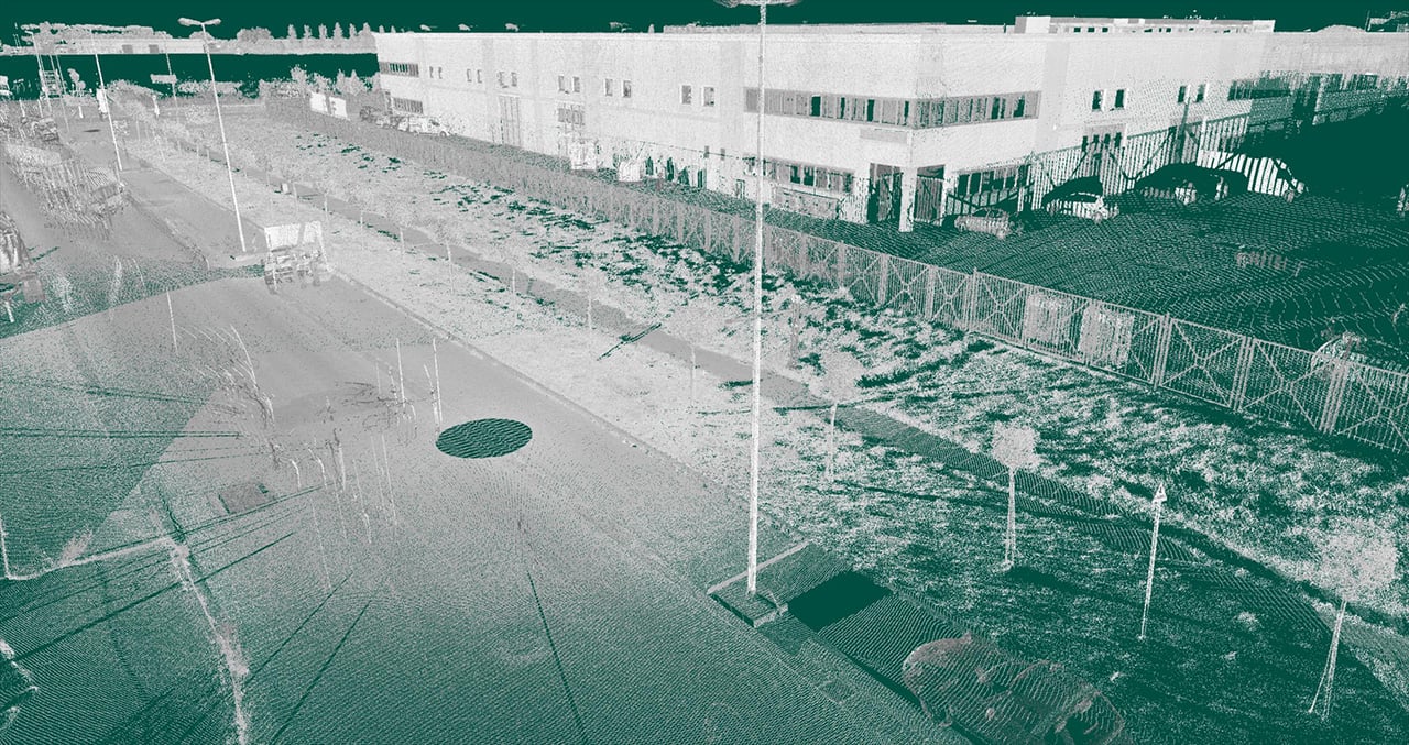
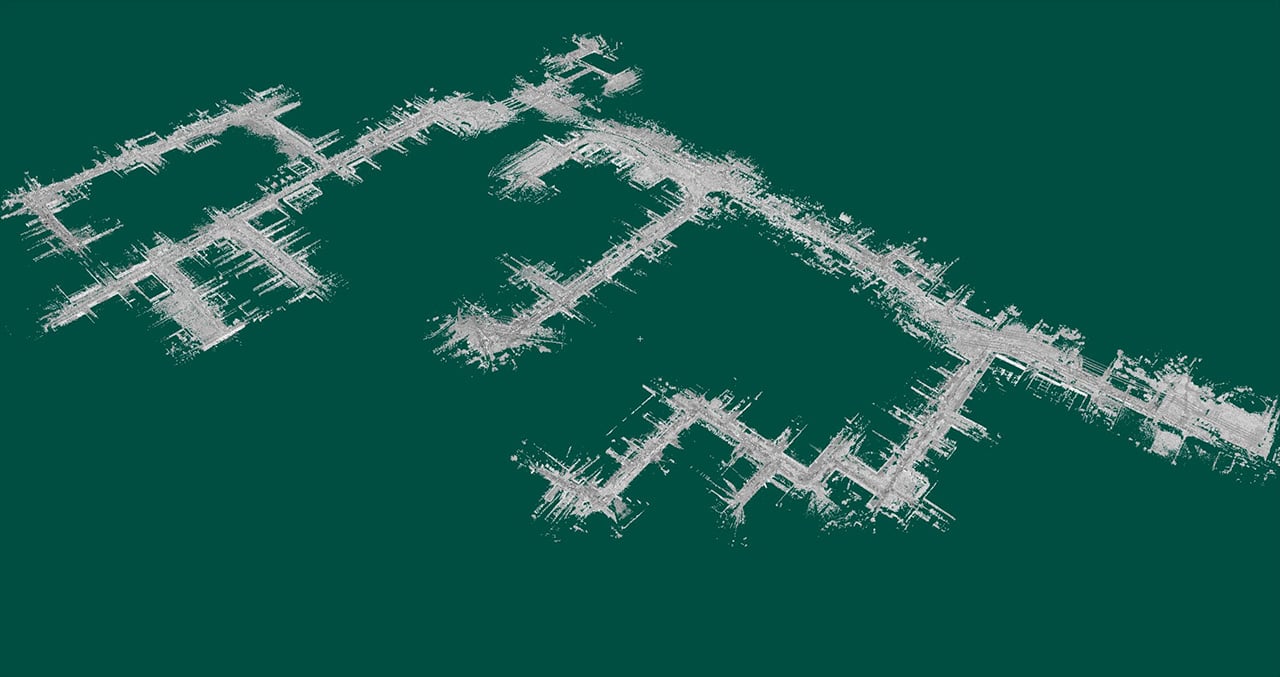
Urban survey of Prato and Montemurlo
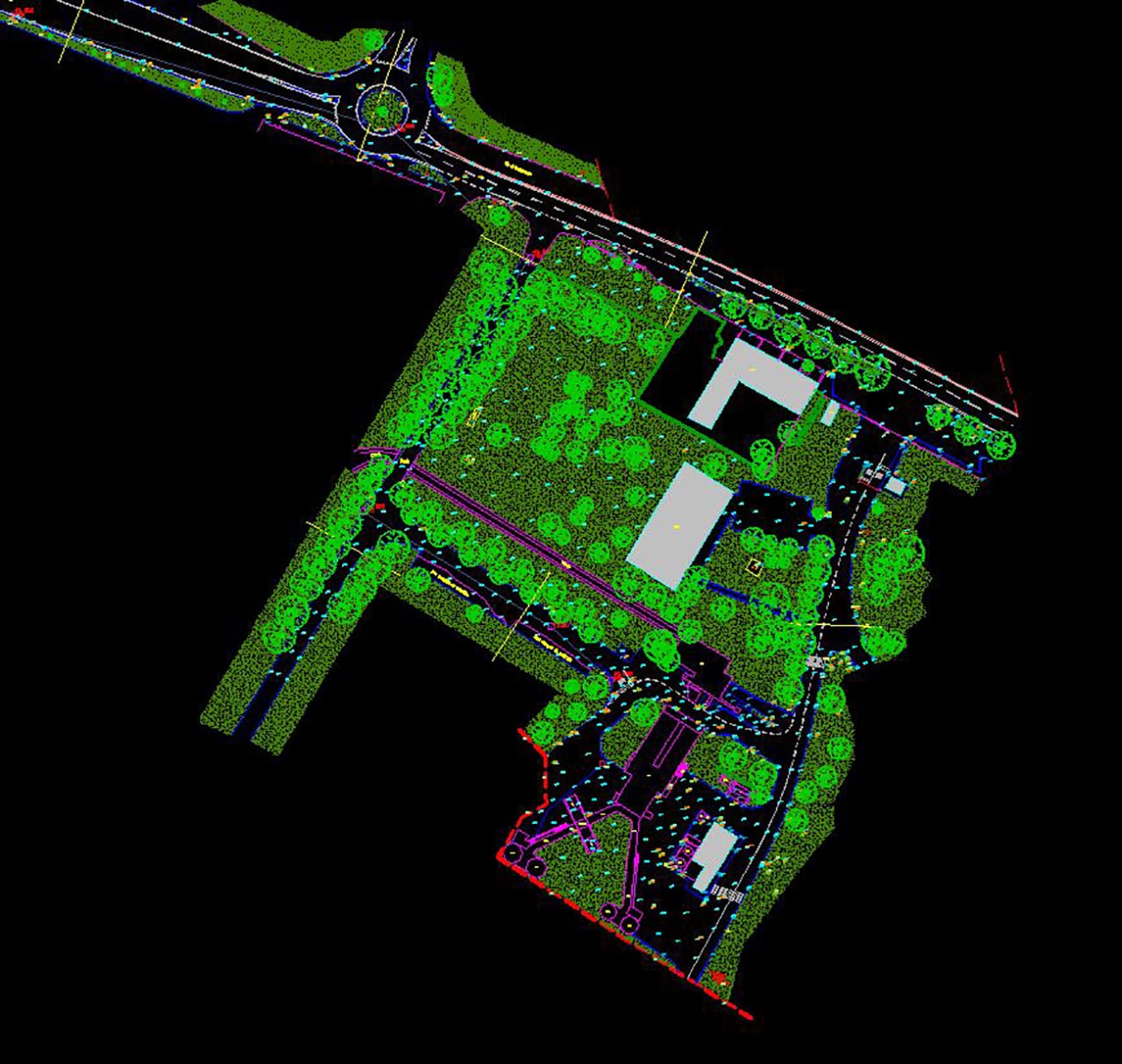
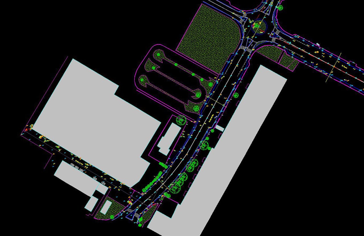
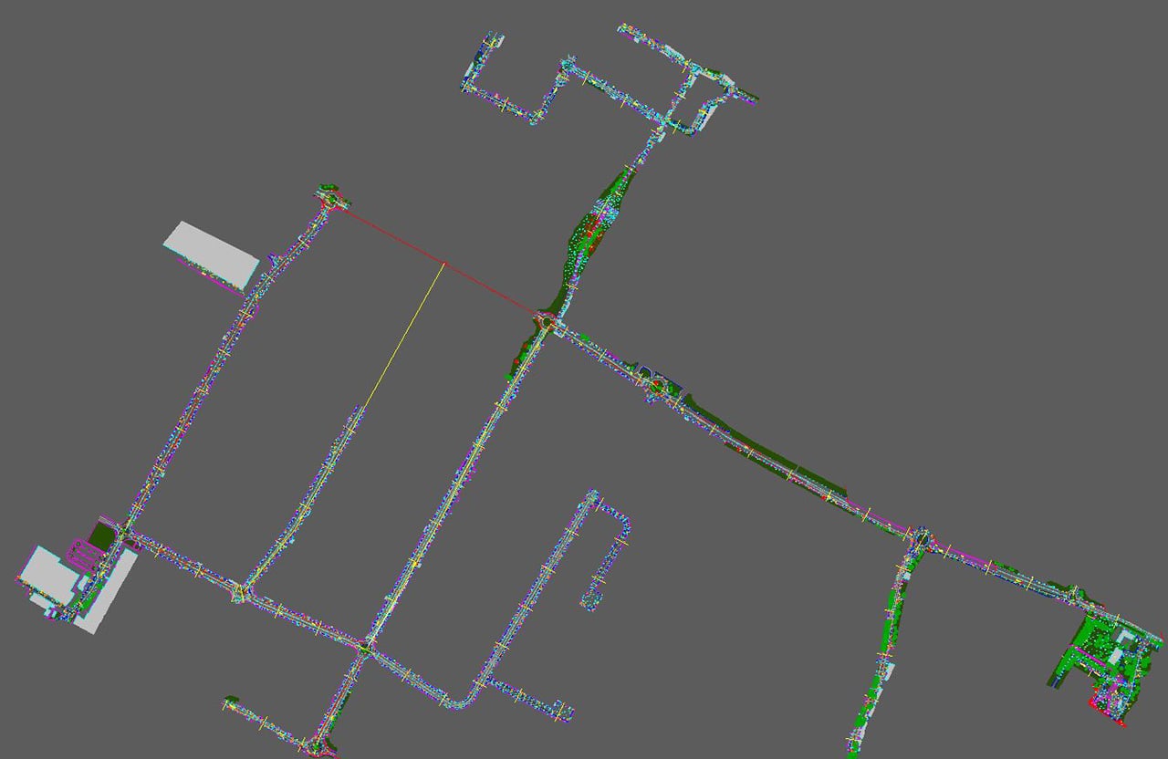
3D Laser Scan and data model of the Prato and Montemurlo urban network
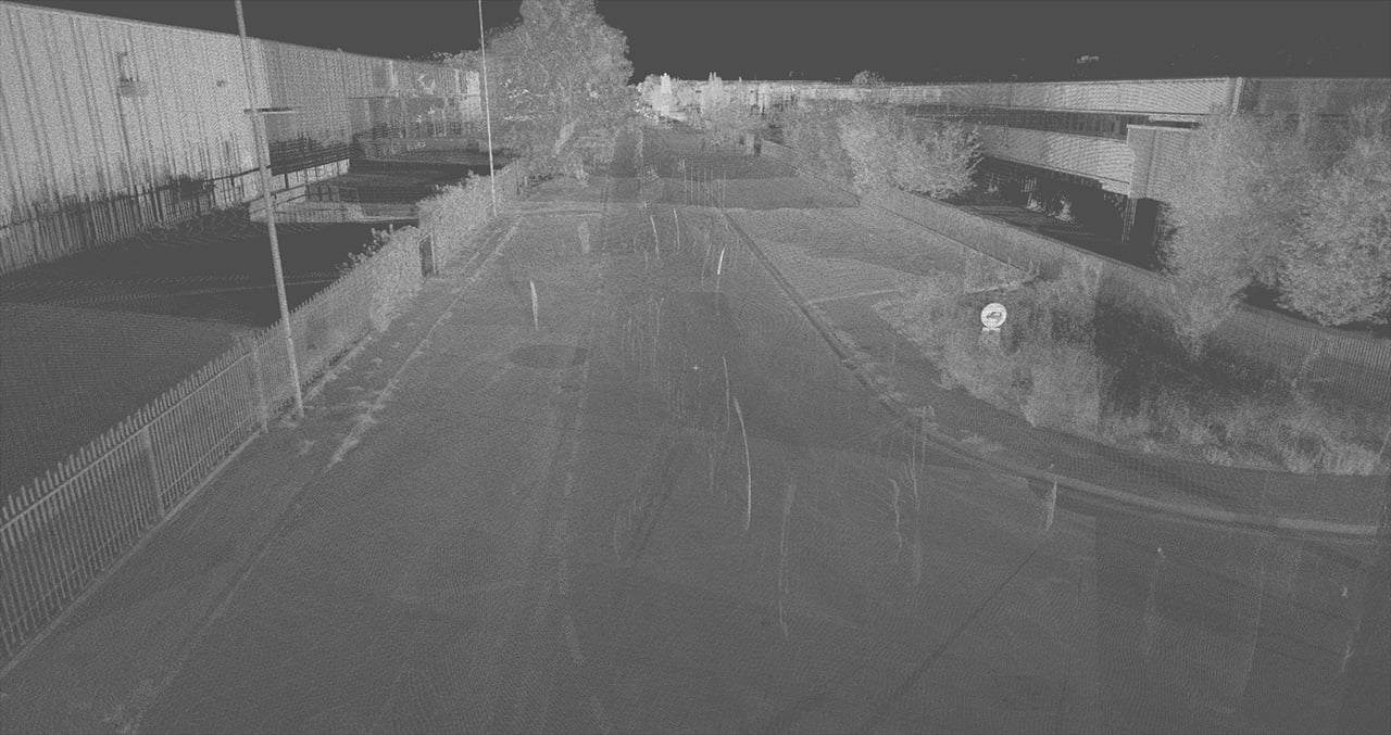
3D Laser Scan of the Prato and Montemurlo road system extending over 58 km of roads, 3D rendering of street furniture, drains, gully traps etc.