Photogrammetric survey using drone – Milan
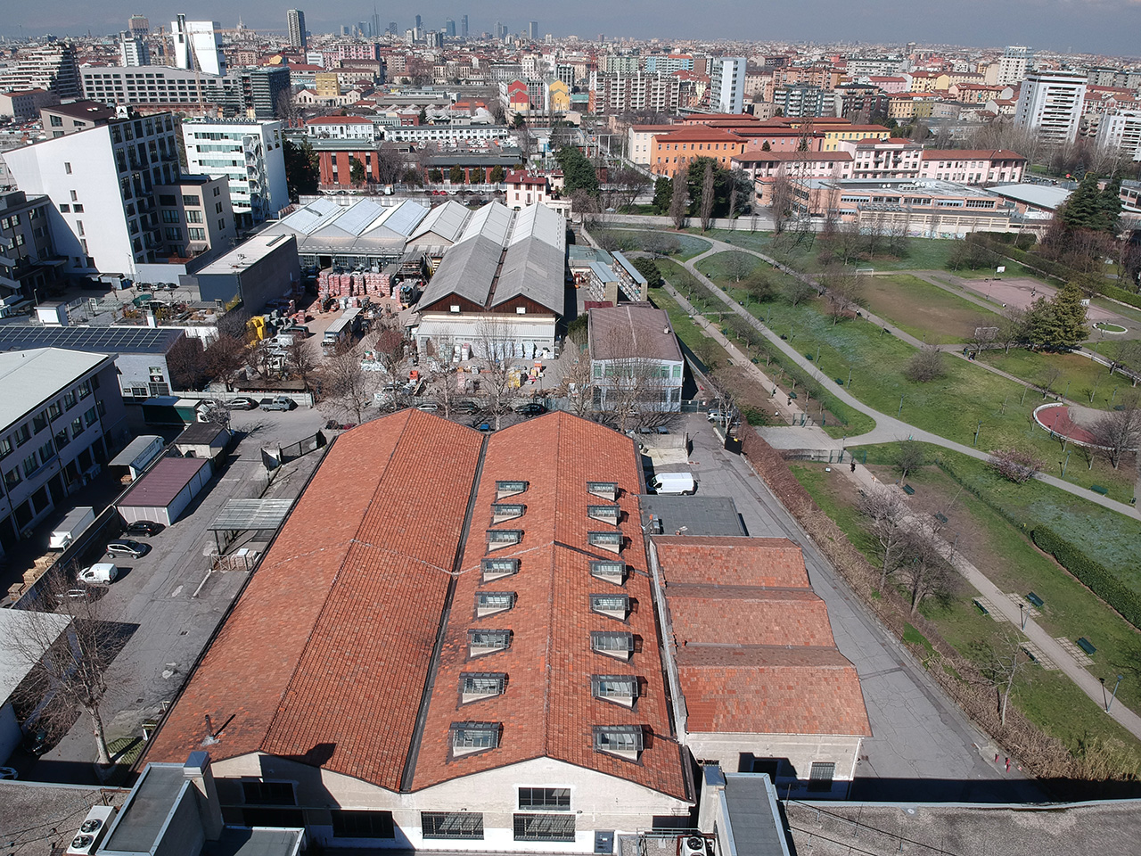
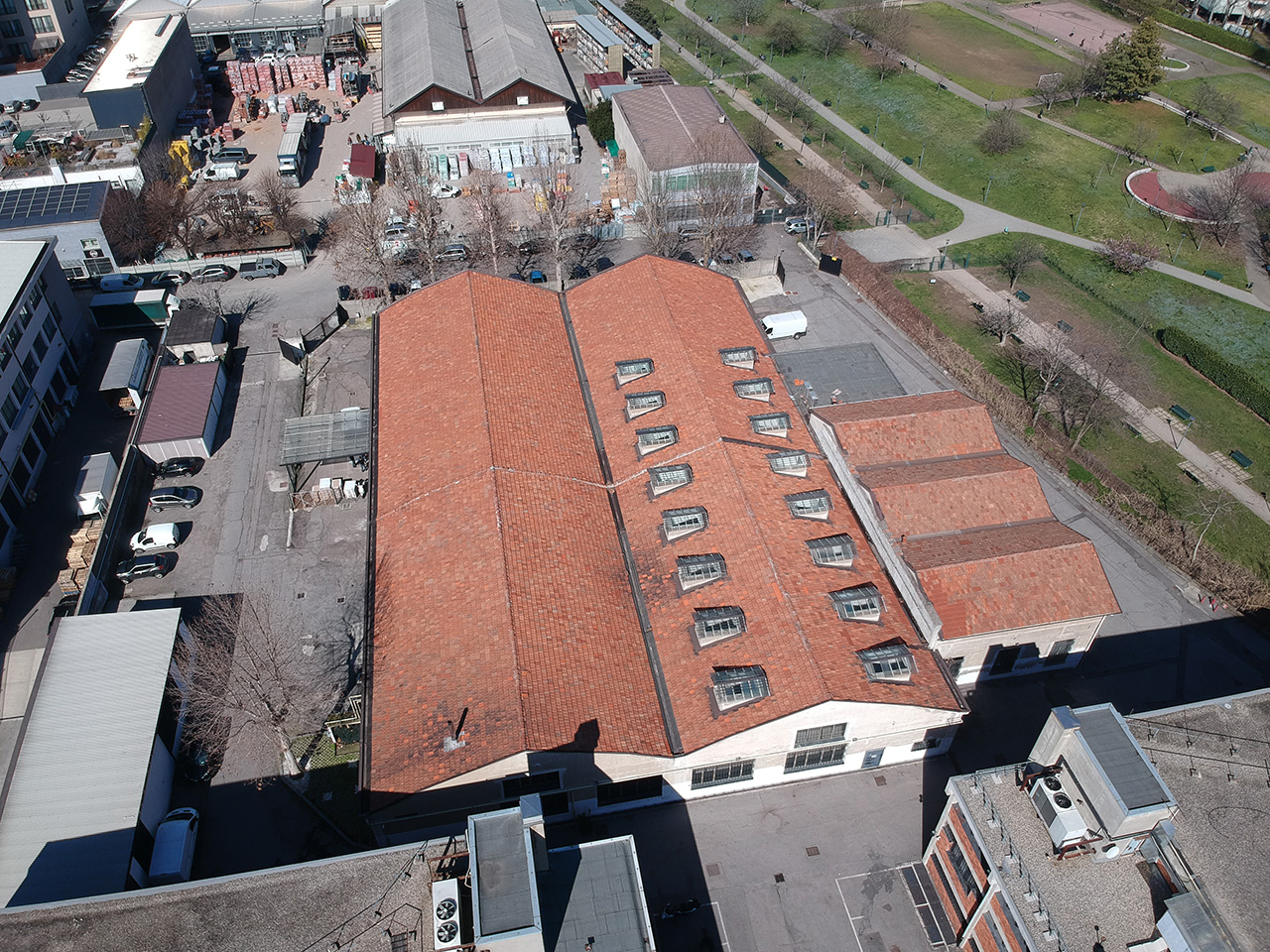
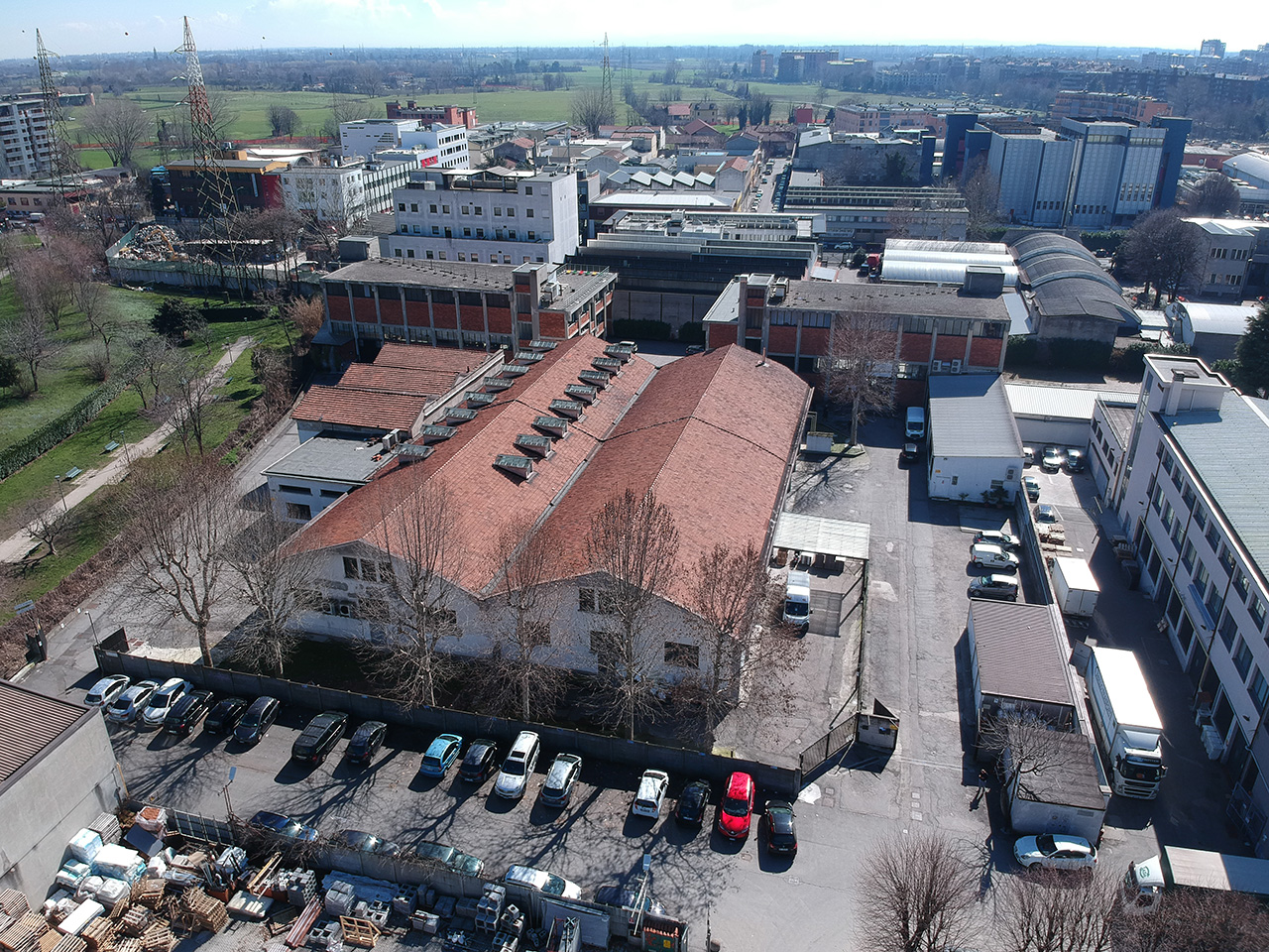
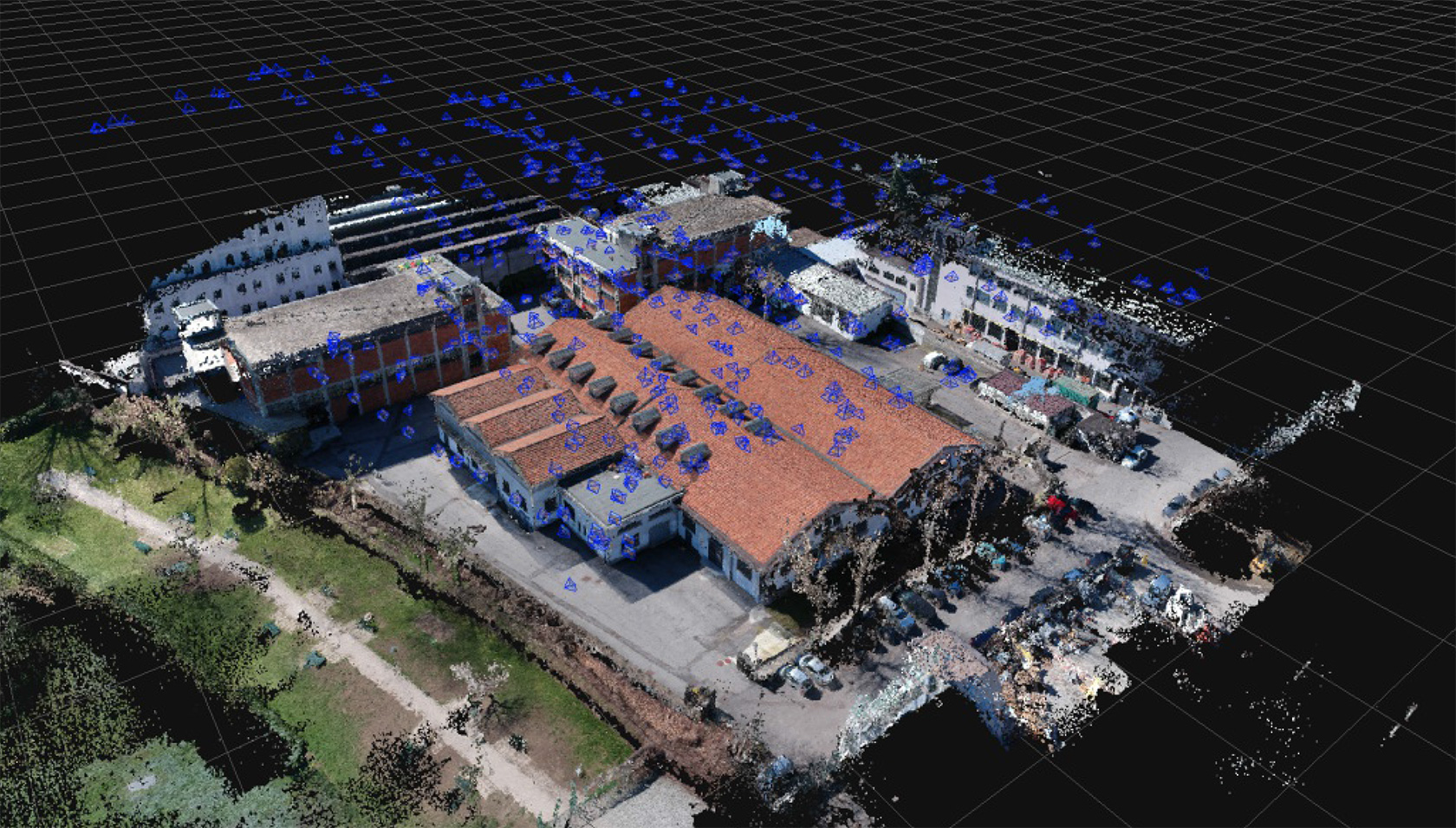
Unmanned aerial photogrammetric survey of a production site in Milan
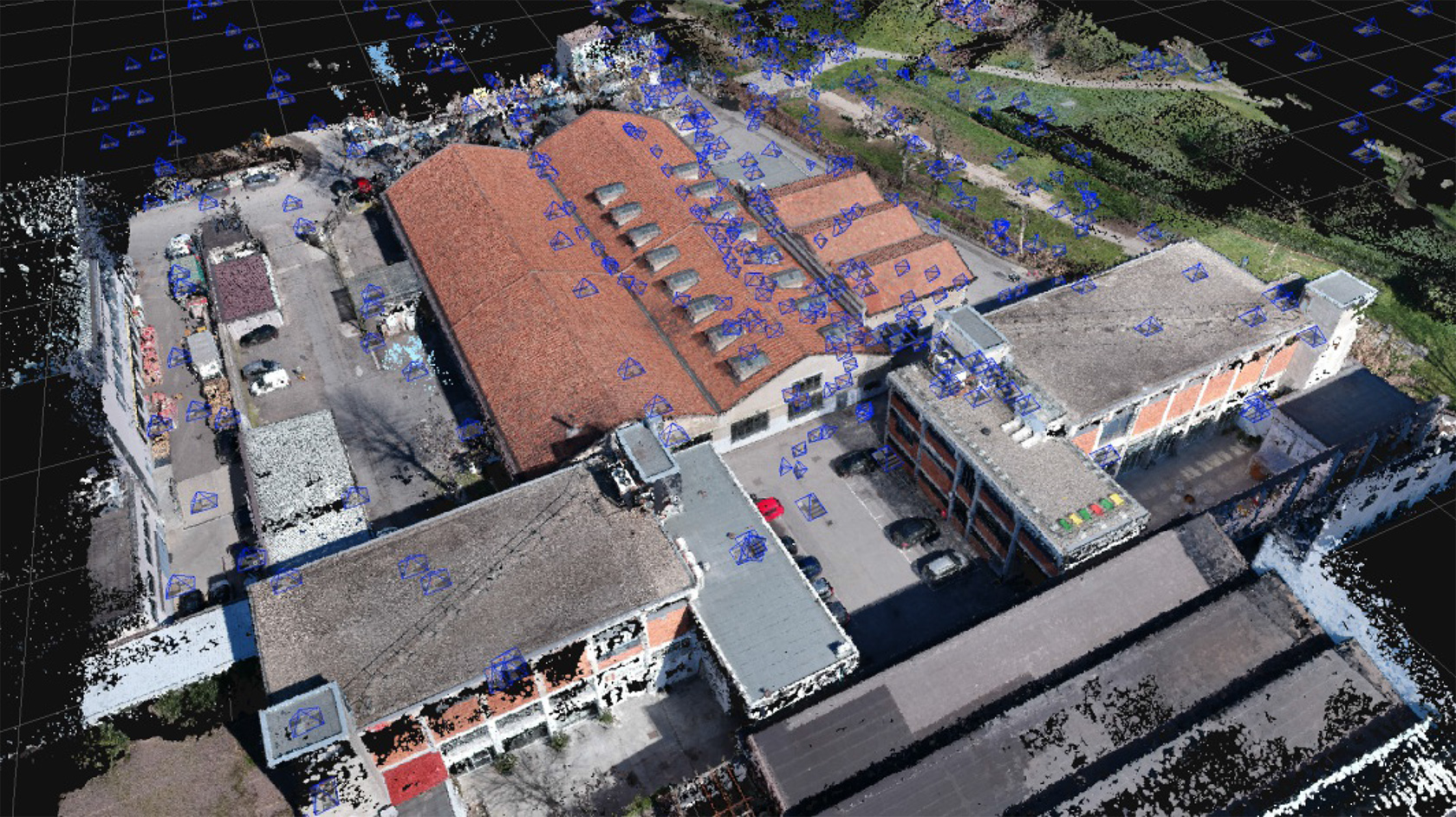
Unmanned aerial photogrammetric survey of a production site in Milan, using the DJI Matrice 200 system, and Zephyr 3D software for editing, and with the provision of a 3D point cloud photographic model produced by FotoPiani and OrtoFoto drone technology. The whole project was combined with a 3D Terrestrial Laser Scanner survey, in order to obtain a single 3D model.